Photo: Nghĩa Trần Trọng · Google Maps
01 · SON TRA
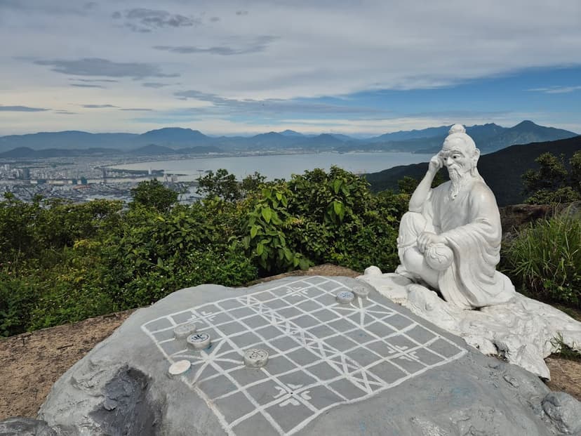
Ban Co Peak
The highest road point on Son Tra. The whole bay and city sit below you.
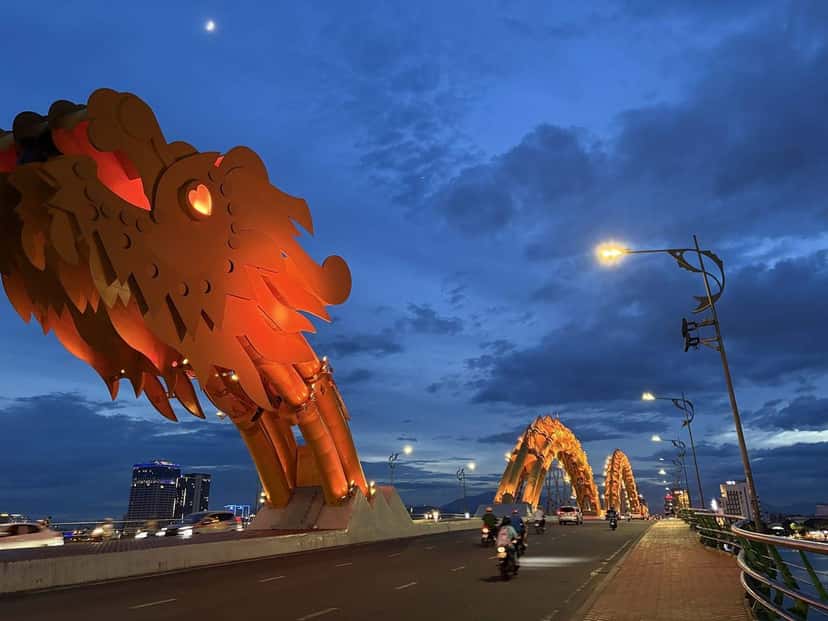
Da Nang · picked by Best Bus
Photo: Chiranjeet Bhattacharyya · Google Maps
Views · beaches · food · coffee · nights out
Opens your Google Maps app.
Photo: Nghĩa Trần Trọng · Google Maps
01 · SON TRA
The highest road point on Son Tra. The whole bay and city sit below you.
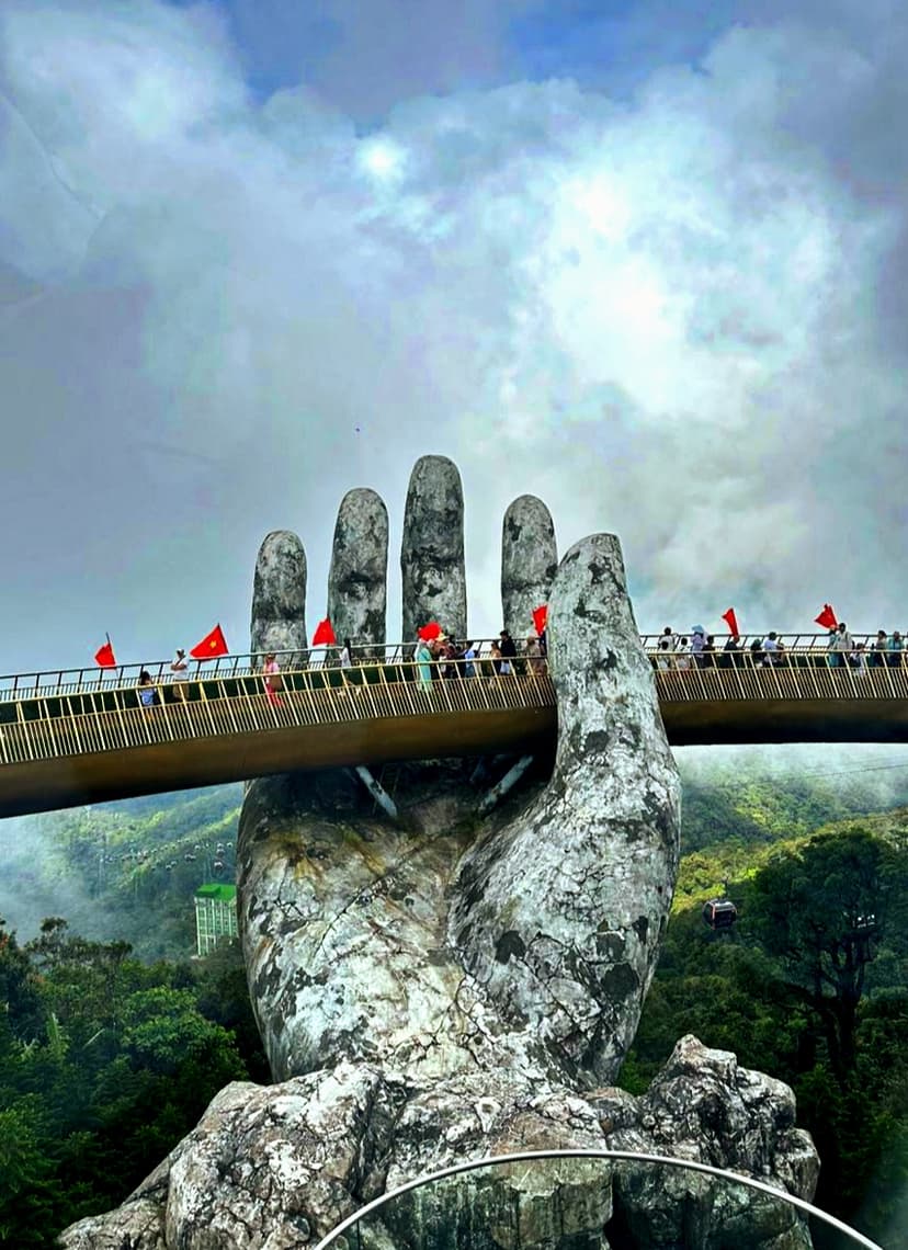
Photo: Raymond Joseph · Google Maps
02 · BA NA HILLS
The bridge held up by two giant stone hands, up in the mountains by cable car.
Photo: Balkrishna Shroff · Google Maps
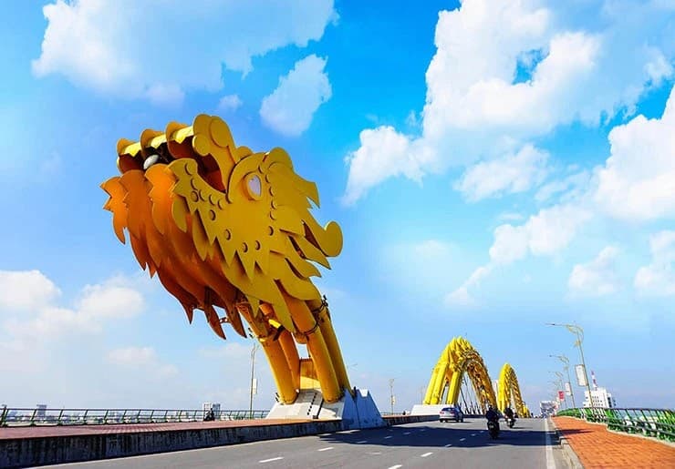
04 · SON TRA
Breathes fire on weekends at 9 pm.
Nguyen Manh Dung · Google Maps
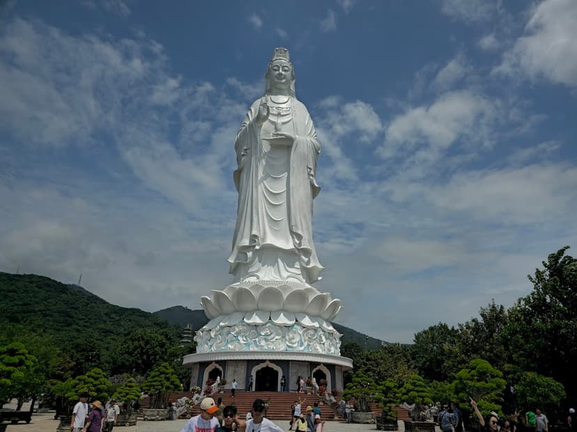
05 · SON TRA
A 67 m Buddha looking over the bay.
Mr. Vong · Google Maps
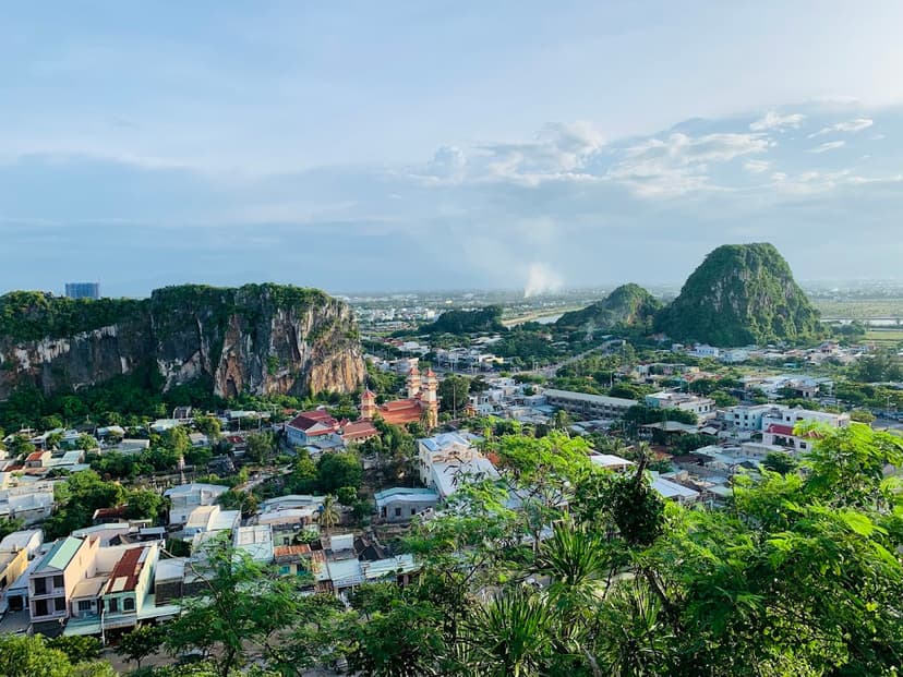
06 · NGU HANH SON
Caves and pagodas inside the hills.
Julien · Google Maps
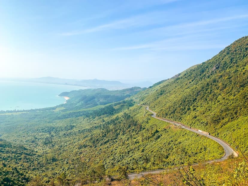
07 · LIEN CHIEU
The Top Gear road. Best on a bike.
Chien Pham Dinh · Google Maps
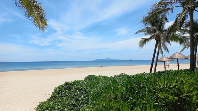
08 · NGU HANH SON
The quiet end of the coast.
Bill · Google Maps
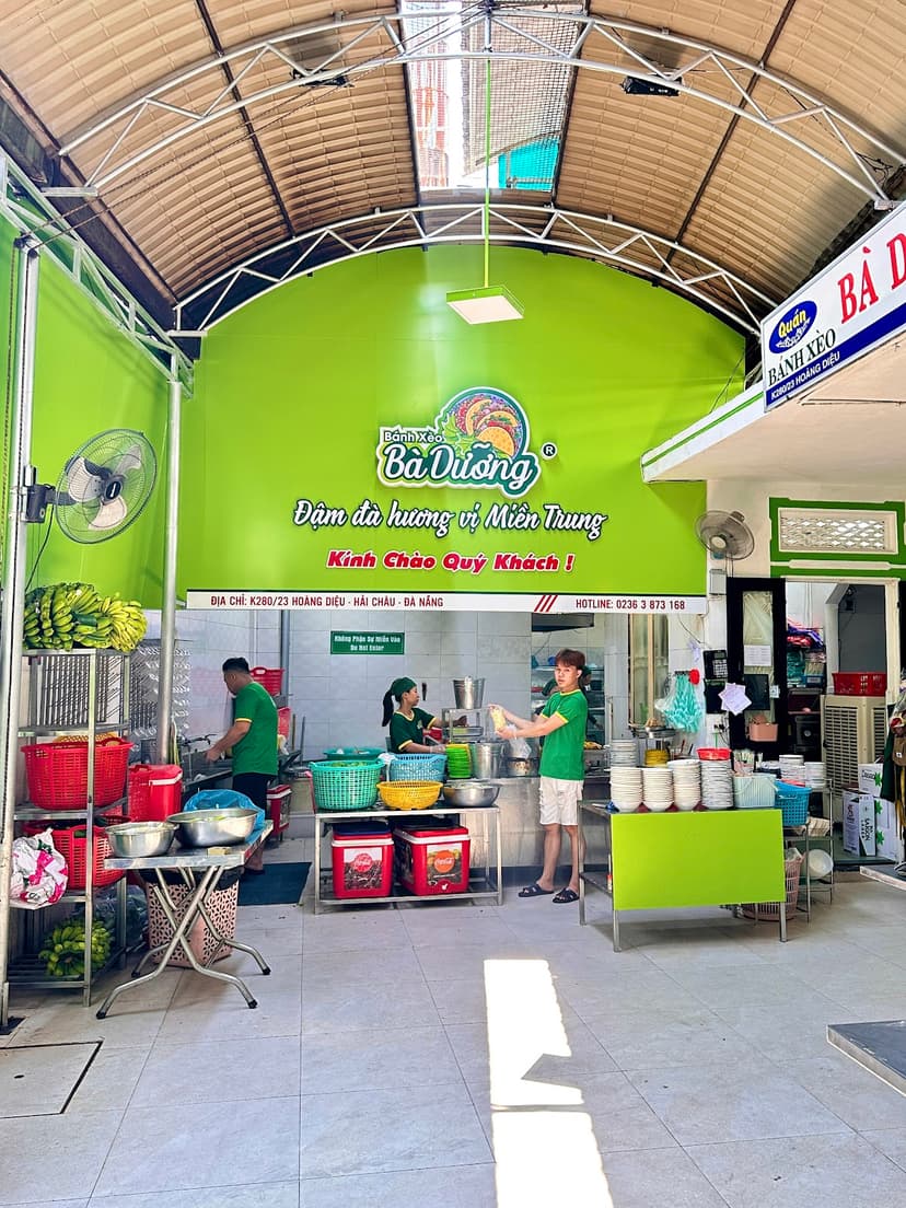
09 · HAI CHAU
Crispy rice pancakes in a back alley.
the venue · Google Maps
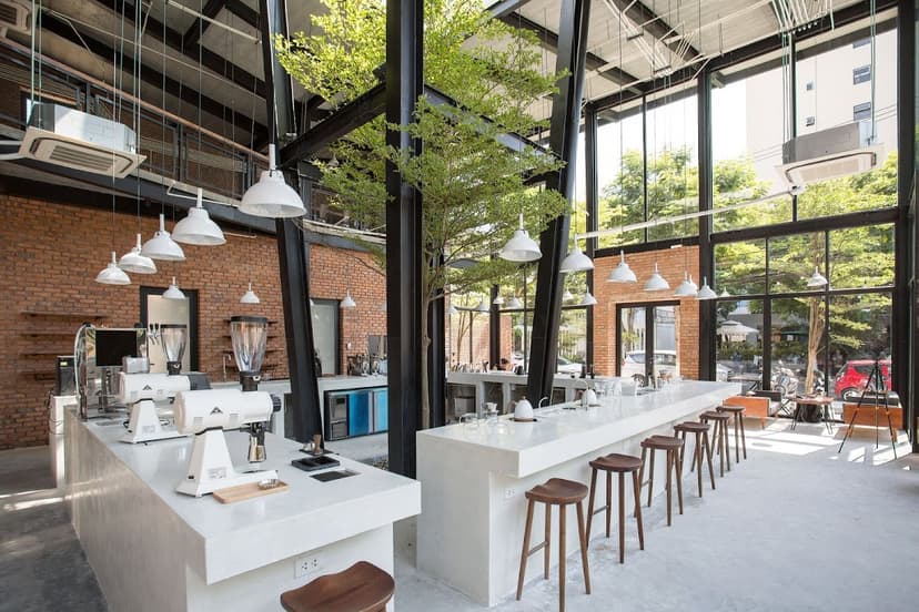
10 · NGU HANH SON
Roasted on site. The city's benchmark.
XLIII Specialty Coffee · Google Maps

11 · HAI CHAU
Street food, live music, locals.
뱅뱅 · Google Maps
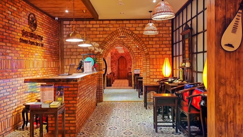
12 · SON TRA
Proper massage. Book ahead for evenings.
the venue · Google Maps
Tap a name to open it in Google Maps.